الحج والعمرة· HAJJ & UMRAH
Ru’yaرؤية
A photogrammetric 3D model of Masjid al-Haram, walked before it’s visited.
A precision 3D reconstruction of Masjid al-Haram built from combined aerial and ground photogrammetric scans — offering guided tours, AR wayfinding, and dedicated accessibility routes so every pilgrim can prepare for the space before setting foot in it.
من رأى الطريق قبل أن يسير، أمن العثار
“See the path before you walk it, and you are safe from stumbling.”
What Ru’ya does
Photogrammetric precision
Combined aerial and ground scans reconstruct the Haram at sub-millimeter resolution, not a stylized approximation.
Narrated guided tours
Short, narrated walkthroughs of the Mataf, the Maqam, Zamzam, and the upper floors, each a few minutes long.
Dedicated accessibility routes
Purpose-built paths for pilgrims with mobility needs, marked and navigable inside the same 3D model.
AR wayfinding on-site
Point a phone at the real Haram and see the suggested path overlaid, distance and obstacles included.
Stop-by-stop detail
Every landmark in the tour includes its source, resolution, and last-updated date for full transparency.
Sovereign data residency
Scan data and usage stay in-Kingdom, PDPL-aligned.
See Ru’ya in action
An early UX walkthrough of the product, designed bilingually from day one.
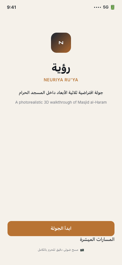
Welcome
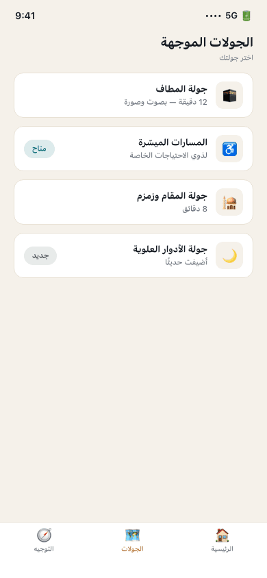
Guided tours
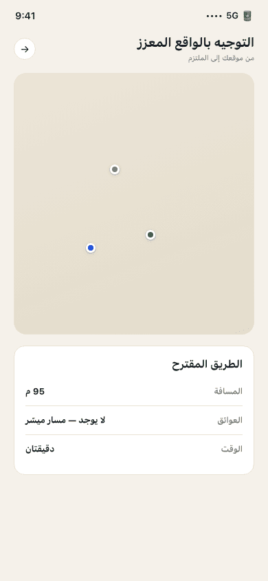
AR wayfinding

3D tour stop
← Swipe to see more screens →
How it works
Choose a tour
Pick a guided walkthrough — the Mataf, the Maqam and Zamzam, the upper floors, or an accessibility route.
Walk it virtually
Move through the photorealistic 3D model with narration at each landmark.
Navigate with AR on-site
On arrival, AR wayfinding overlays the same suggested path onto the real Haram.
Arrive prepared
Pilgrims already know the layout, the distances, and the accessible route before they take a single step.
Let every pilgrim walk the Haram before they arrive
We're selecting design-partner Umrah operators for the first pilot cohort. Book a briefing to see the product and discuss fit.
Request a Pilot